Cryptographically Verified Evidence
100% SHA-256 MATCHThis asset's digital fingerprint matches the original on-chain ledger proof recorded at field ingestion.
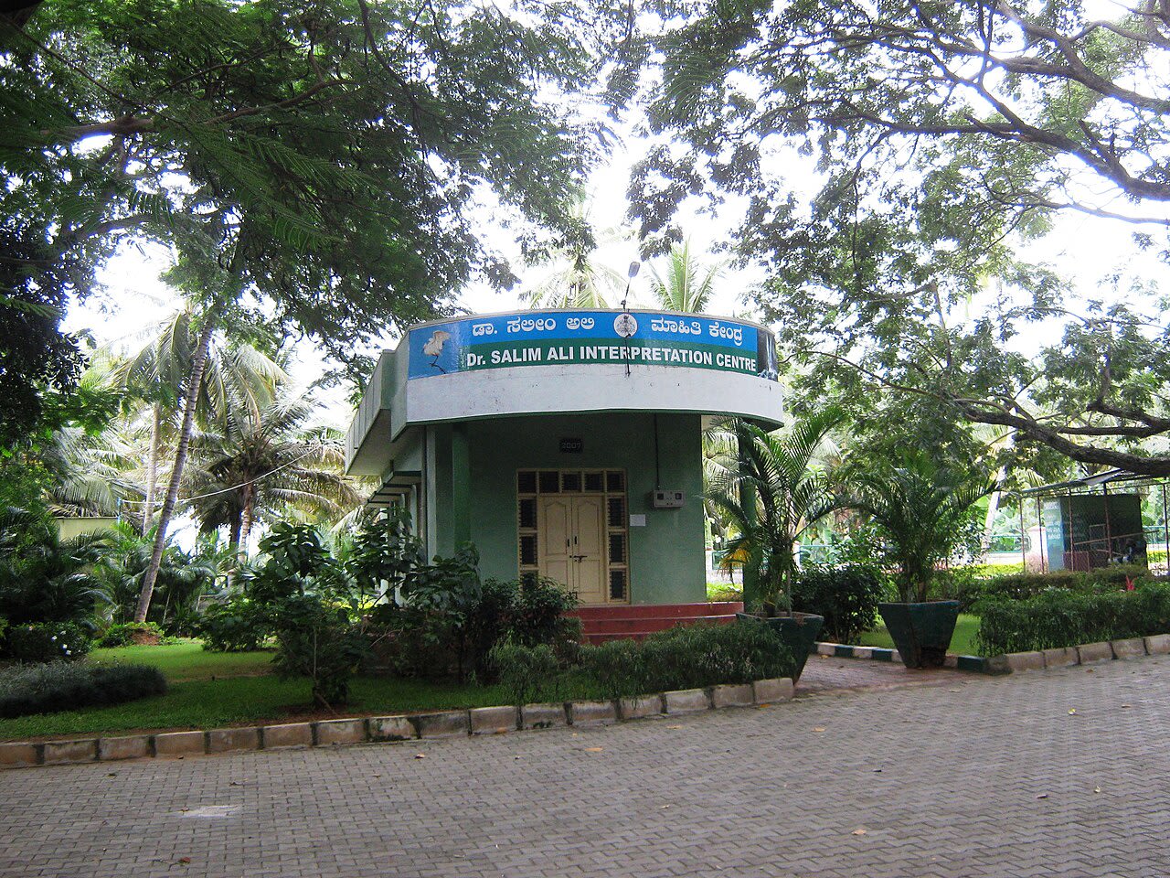
terratrace/kaveri-wetland/kaveri_riparian_buffer_zone1280 × 960 • JPG
SHA-256 Cryptographic Hash
5bfe0f471c8be517a2f440b0541dbba76d56efa5768f680c9e9203dec309ff38Deterministic digest computed over binary payload prior to cloud storage. Guarantees zero byte alterations or tampering.
Project Context & Origin
InitiativeKaveri River Urban Wetland RevivalCategory: Water Security • Location: Ranganathittu, Mandya District, Karnataka, India
Field SiteSrirangapatna Downstream Riparian Buffer
Captured At9/10/2024
Camera DeviceNikon D750
GPS Telemetry
12.41850° N, 76.69380° EView on Map
File Size: 517.7 KBUploader: Priyansh Narang