Cryptographically Verified Evidence
100% SHA-256 MATCHThis asset's digital fingerprint matches the original on-chain ledger proof recorded at field ingestion.
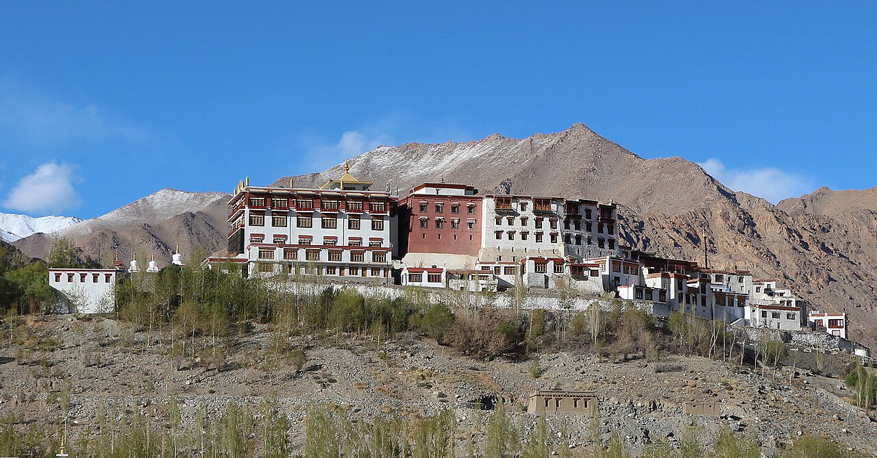
terratrace/ladakh-ice-stupa/ladakh_valley_community_context1280 × 669 • JPG
SHA-256 Cryptographic Hash
898b52330d4fcf598e389758cf356787a2a3b5081fec4e09a73458ed2176d478Deterministic digest computed over binary payload prior to cloud storage. Guarantees zero byte alterations or tampering.
Project Context & Origin
InitiativeLadakh High-Altitude Ice Stupa Glacier InitiativeCategory: Climate Adaptation • Location: Phyang, Leh District, Ladakh, India
Field SiteSECMOL Campus — Prototype Testing Ground
Captured At3/15/2024
Camera DeviceHasselblad X1D II 50C
GPS Telemetry
34.07850° N, 77.60480° EView on Map
File Size: 306.8 KBUploader: Priyansh Narang