Cryptographically Verified Evidence
100% SHA-256 MATCHThis asset's digital fingerprint matches the original on-chain ledger proof recorded at field ingestion.
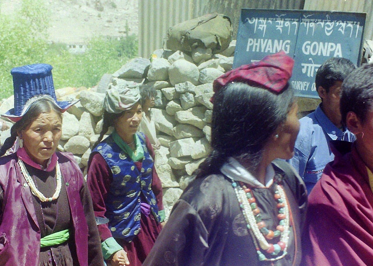
Baseline T0
terratrace/ladakh-ice-stupa/ladakh_baseline_arid_valley1280 × 912 • JPG
SHA-256 Cryptographic Hash
9c8ee29cd4b838285350a8ce8aca6553491540003b8e0a23ea89506373a02ac2Deterministic digest computed over binary payload prior to cloud storage. Guarantees zero byte alterations or tampering.
Project Context & Origin
InitiativeLadakh High-Altitude Ice Stupa Glacier InitiativeCategory: Climate Adaptation • Location: Phyang, Leh District, Ladakh, India
Field SitePhyang Village Ice Stupa Field
Captured At11/10/2022
Camera DeviceCanon EOS 5D Mark II
GPS Telemetry
34.15650° N, 77.48250° EView on Map
File Size: 340.7 KBUploader: Priyansh Narang