Cryptographically Verified Evidence
100% SHA-256 MATCHThis asset's digital fingerprint matches the original on-chain ledger proof recorded at field ingestion.
Community Ethics Face-Blurred
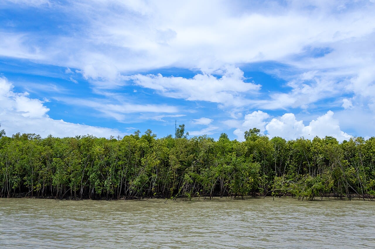
terratrace/sundarbans-mangroves/sundarbans_current_canopy1280 × 853 • JPG
Vulnerable Human Subject Ethics Gate Active
Per TerraTrace NGO ethics standards, public visitors cannot view unredacted imagery of community members, field workers, or minors. All faces are dynamically blurred using Cloudinary's edge facial detection engine.
SHA-256 Cryptographic Hash
e0518d1b5182b8b7f6f98ae404d7617582ac92249c80fe444fa856f465460e8dDeterministic digest computed over binary payload prior to cloud storage. Guarantees zero byte alterations or tampering.
Project Context & Origin
InitiativeSundarbans Mangrove Delta ReforestationCategory: Reforestation • Location: Sundarbans, West Bengal, India
Field SiteSagar Island Tidal Creek Nursery
Captured At11/12/2024
Camera DeviceSony Alpha 7R IV
GPS Telemetry
21.67950° N, 88.14740° EView on Map
File Size: 304.3 KBUploader: Priyansh Narang